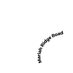
12 MARIAH RIDGE RD
Owner Information
EL-HAYEK PIERRE
12 MARIAH RIDGE RD
HAVERHILL, MA 01832


Property Details
12 MARIAH RIDGE RD is classified as a Single Family Residential (Colonial).
The primary structure on this property was built in 1996. There are 2,246ft2 of built area within this property. There is 2,246ft2 of residential/living space within this property. This property is listed as having 6 rooms.
12 MARIAH RIDGE RD is valued at $395,000. The land is valued at $143,400 and the structures are valued at $248,500. There is an additional valuation of $3,100 on this property.
The most recent deed for 12 MARIAH RIDGE RD is recorded at the local registrar in Book 34504, Page 383. 12 MARIAH RIDGE RD was last sold on Friday, November 6, 2015 for $335,000.
Assessment data from fiscal year 2022.
Flood Data
According to the FEMA National Flood Hazard Layer, this property does not appear to be in a flood zone. It may also be in an area not yet reviewed. Nonetheless, confirm this information prior to taking any action.
To view the flood hazards around this property, create a FEMA "Firmette" Map of the area around 12 MARIAH RIDGE RD.
Broadband Internet Providers
| Provider | Type | Bandwidth (mbps) | |
|---|---|---|---|
| HughesNet | Satellite | 25 | 3 |
| Viasat Inc | Satellite | 100 | 3 |
| Verizon New England Inc. | DSL | 7 | 0 |
| Comcast | Cable | 1000 | 35 |
| PAETEC Communications, Inc | Fiber | 0 | 0 |
| PAETEC Communications, Inc | DSL | 0 | 0 |
| T-Mobile | Fixed Wireless | 25 | 3 |
| GCI Communication Corp. | Satellite | 0 | 0 |
| VSAT Systems, LLC. | Satellite | 2 | 1 |
| Crown Castle Fiber | Fiber | 0 | 0 |
Broadband service provider data from December 2020.
Adjacent Properties
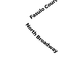
- 266 NORTH BROADWAY
Single Family Residential owned by GARFI RONDA M - 274 NORTH BROADWAY
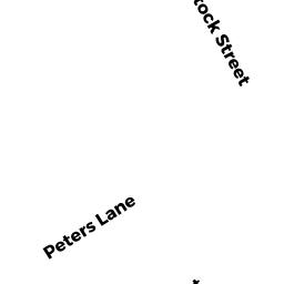
Single Family Residential owned by MORELLE JENNIFER - 8 MARIAH RIDGE RD
Single Family Residential owned by PINARD LISA - 9 MARIAH RIDGE RD
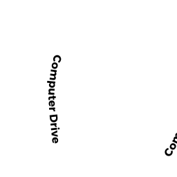
Single Family Residential owned by DRAPEAU JUDITH M - 35 COMPUTER DR
Discount Stores, Junior Department Stores, Department Stores owned by TARGET CORPORATION